‘The Masked Singer’ Reveals Identity of Macaron: Here Is the Celebrity Under the Costume


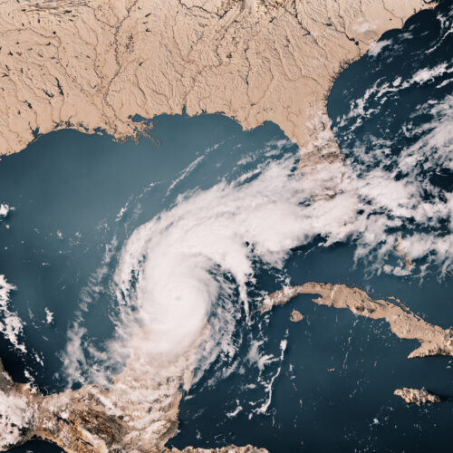
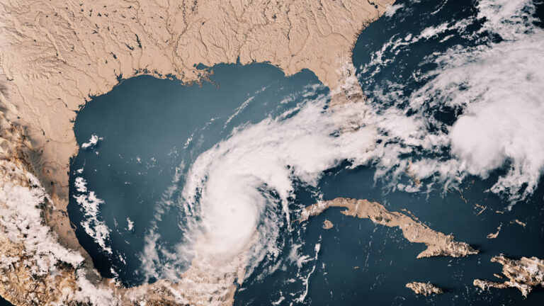
As attempts to clean up after Hurricane Milton are beginning, scientists at the World Weather Attribution project have taken a quick look at whether climate change contributed to its destructive power. While the analysis is limited by the fact that not all the meteorological data is even available yet, by several measures, climate change made aspects of Milton significantly more likely.
This isn't a huge surprise, given that Milton traveled across the same exceptionally warm Gulf of Mexico that Helene had recently transited. But the analysis does produce one striking result: Milton would have been a Category 2 storm at landfall if climate change weren't boosting its strength.
Hurricanes strengthen while over warm ocean waters, and climate change has been slowly cranking up the heat content of the oceans. But it's important to recognize that the slow warming is an average, and that can include some localized extreme events. This year has seen lots of ocean temperature records set in the Atlantic basin, and that seems to be true in the Gulf of Mexico as well. The researchers note that a different rapid analysis released earlier this week showed that the ocean temperatures—which had boosted Milton to a Category 5 storm during its time in the Gulf—were between 400 and 800 times more likely to exist thanks to climate change.
© Frank Ramspott
On Tuesday evening during a measurement flight, the NOAA Aircraft Operations Center dropped the ashes of Peter Dodge, a longtime radar scientist and hurricane hunter, in the eye of Hurricane Milton. The drop honored Dodge's 44-year career and his contributions to radar meteorology and tropical cyclone research.
As the powerful and dangerous storm bears down on Florida, the release of Dodge's ashes was an unusually peaceful moment during a type of flight that is typically quite turbulent. Michael Lowry, a Hurricane Specialist and Storm Surge Expert at WPLG-TV in Florida, celebrated the moment on X, calling it a "beautiful tribute."
Lowry's post included a screenshot of a Vortex Data Message, which is a log of in-flight observations made by hurricane reconnaissance aircraft, detailing the storm's center location, pressure, wind speed, temperature, and other key meteorological data used to assess the intensity and structure of the cyclone. At the end, a tribute line reads, "PETER DODGE HX SCI (1950–2023) 387TH PENNY."
© NOAA
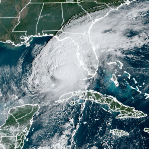
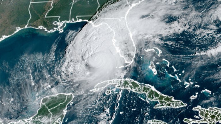
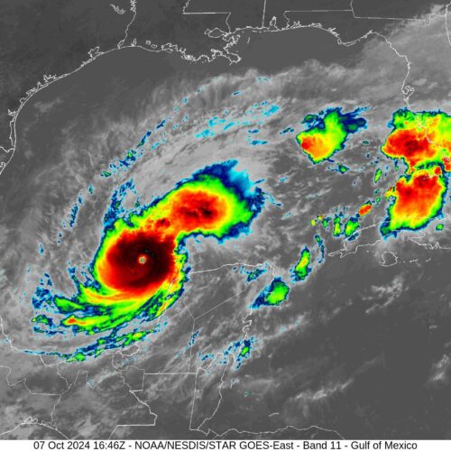
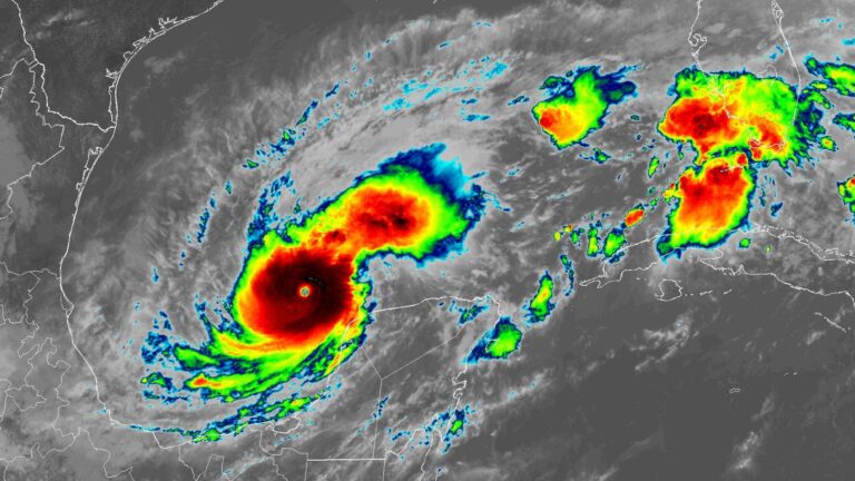
In less than a day, Hurricane Milton has rapidly intensified over the southern Gulf of Mexico, exploding from a small Category 1 hurricane into a Category 5 storm. Unfortunately, the hurricane is likely to strengthen further as it tracks eastward toward Florida.
The National Hurricane Center reported that Milton had reached sustained winds of 160 mph as of 11:44 pm ET on Monday, with a central pressure of 925 millibars. The storm is moving steadily eastward and is likely to reach the west coast of Florida on Wednesday evening as a major hurricane.
Based upon Atlantic basin records, Milton has tied Hurricane Maria (2017) for the second-fastest intensification from a Category 1 to Category 5 hurricane, taking just 18 hours. Only Hurricane Wilma (2005) did so more rapidly, in just 12 hours.
© NOAA