Reading view

There are new articles available, click to refresh the page.

What did the snowball Earth look like?

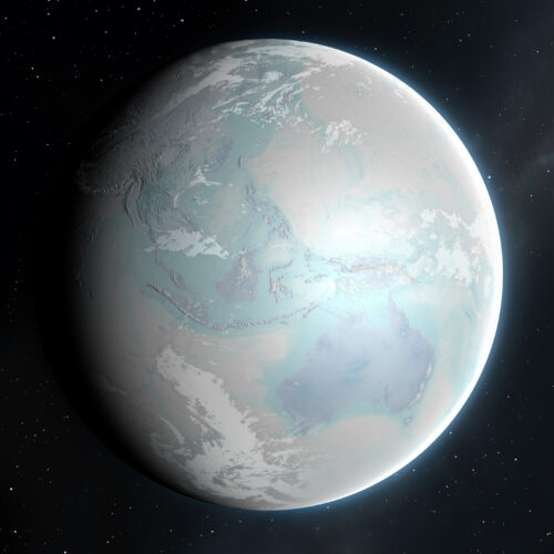
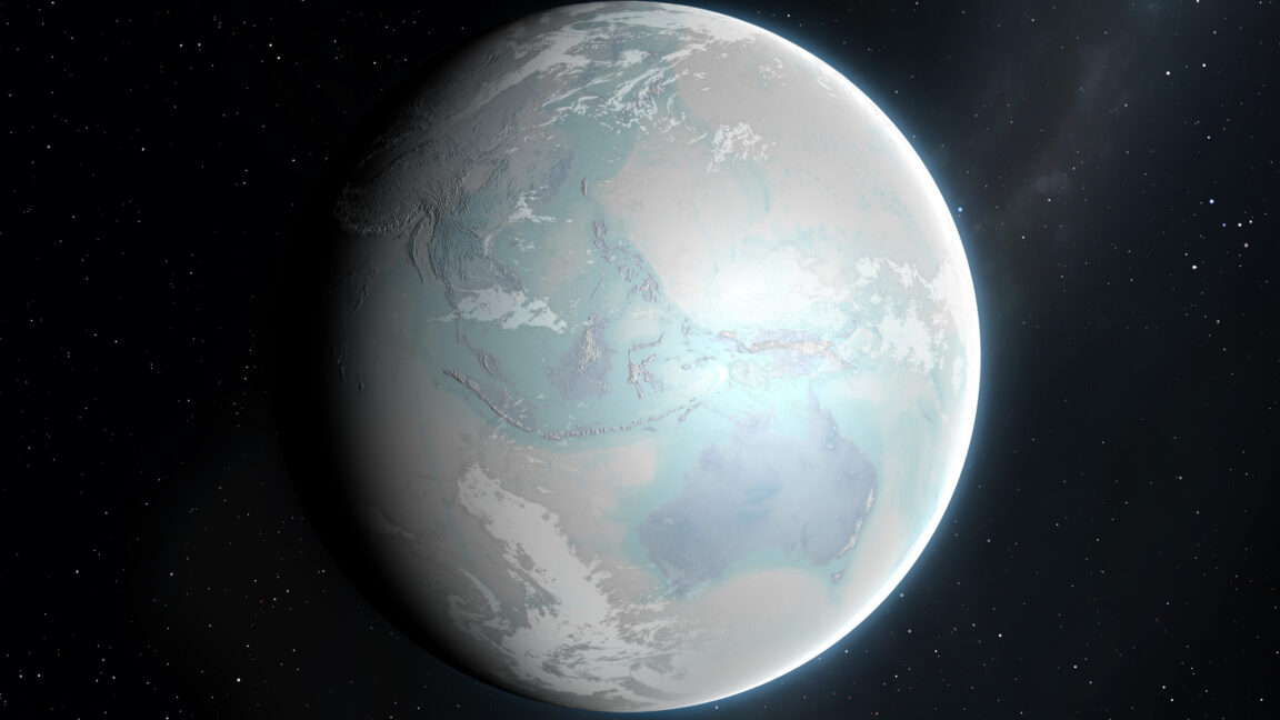
By now, it has been firmly established that the Earth went through a series of global glaciations around 600 million to 700 million years ago, shortly before complex animal life exploded in the Cambrian. Climate models have confirmed that, once enough of a dark ocean is covered by reflective ice, it sets off a cooling feedback that turns the entire planet into an icehouse. And we've found glacial material that was deposited off the coasts in the tropics.

We have an extremely incomplete picture of what these snowball periods looked like, and Antarctic terrain provides different models for what an icehouse continent might look like. But now, researchers have found deposits that they argue were formed beneath a massive ice sheet that was being melted from below by volcanic activity. And, although the deposits are currently in Colorado's Front Range, at the time they resided much closer to the equator.

In the icehouse

Glacial deposits can be difficult to identify in deep time. Massive sheets of ice will scour the terrain down to bare rock, leaving behind loosely consolidated bits of rubble that can easily be swept away after the ice is gone. We can spot when that rubble shows up in ocean deposits to confirm there were glaciers along the coast, but rubble can be difficult to find on land.
Read full article

Comments

© MARK GARLICK/SCIENCE PHOTO LIBRARY
Bizarre, nine-day seismic signal caused by epic landslide in Greenland

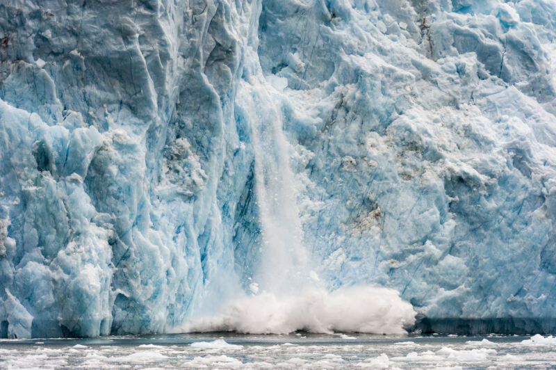
Ice calving from a glacier

Enlarge (credit: Jason Edwards via Getty)

Earthquake scientists detected an unusual signal on monitoring stations used to detect seismic activity during September 2023. We saw it on sensors everywhere, from the Arctic to Antarctica.

We were baffled—the signal was unlike any previously recorded. Instead of the frequency-rich rumble typical of earthquakes, this was a monotonous hum, containing only a single vibration frequency. Even more puzzling was that the signal kept going for nine days.

Initially classified as a “USO”—an unidentified seismic object—the source of the signal was eventually traced back to a massive landslide in Greenland’s remote Dickson Fjord. A staggering volume of rock and ice, enough to fill 10,000 Olympic-sized swimming pools, plunged into the fjord, triggering a 200-meter-high mega-tsunami and a phenomenon known as a seiche: a wave in the icy fjord that continued to slosh back and forth, some 10,000 times over nine days.

Read 14 remaining paragraphs | Comments

Alaska’s top-heavy glaciers are approaching an irreversible tipping point

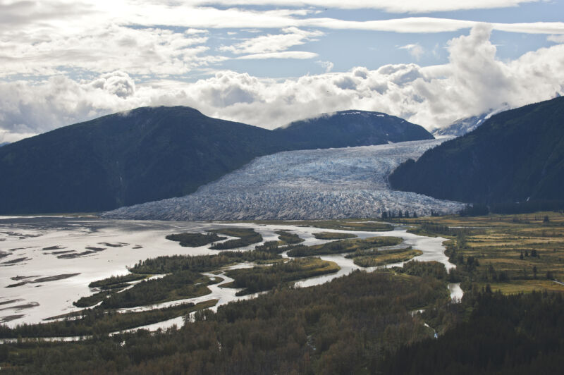
Taku Glacier is one of many that begin in the Juneau Icefield.

Enlarge / Taku Glacier is one of many that begin in the Juneau Icefield. (credit: Mauricio Handler / Getty Images)

The melting of one of North America’s largest ice fields has accelerated and could soon reach an irreversible tipping point. That’s the conclusion of new research colleagues and I have published on the Juneau Icefield, which straddles the Alaska-Canada border near the Alaskan capital of Juneau.

In the summer of 2022, I skied across the flat, smooth, and white plateau of the icefield, accompanied by other researchers, sliding in the tracks of the person in front of me under a hot sun. From that plateau, around 40 huge, interconnected glaciers descend towards the sea, with hundreds of smaller glaciers on the mountain peaks all around.

Our work, now published in Nature Communications, has shown that Juneau is an example of a climate “feedback” in action: as temperatures are rising, less and less snow is remaining through the summer (technically: the “end-of-summer snowline” is rising). This in turn leads to ice being exposed to sunshine and higher temperatures, which means more melt, less snow, and so on.

Read 13 remaining paragraphs | Comments

❌