❌

Reading view

There are new articles available, click to refresh the page.

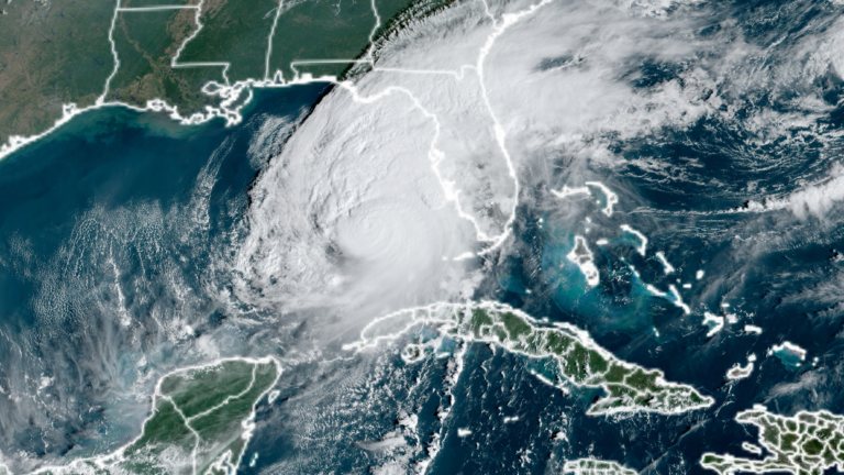
Climate change boosted Milton’s landfall strength from Category 2 to 3

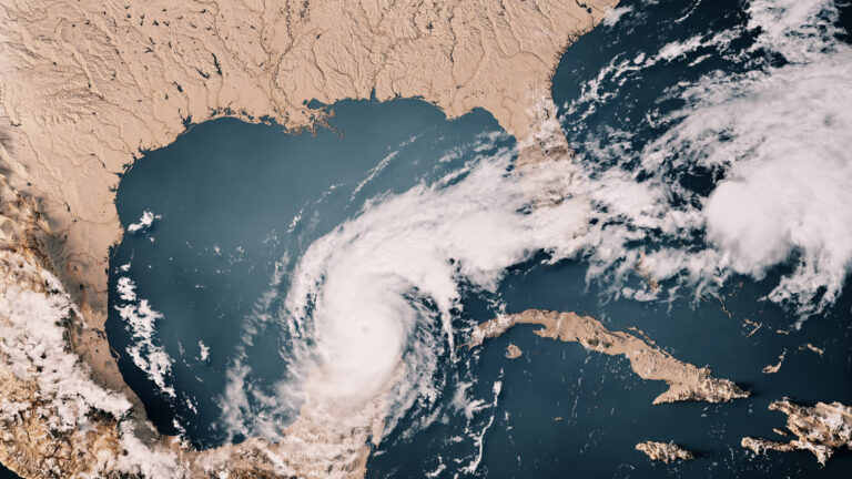
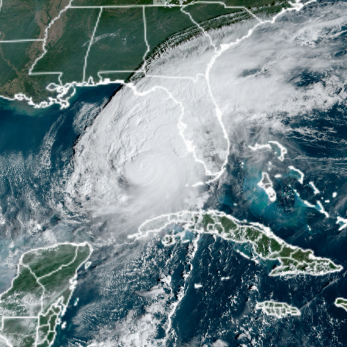
As attempts to clean up after Hurricane Milton are beginning, scientists at the World Weather Attribution project have taken a quick look at whether climate change contributed to its destructive power. While the analysis is limited by the fact that not all the meteorological data is even available yet, by several measures, climate change made aspects of Milton significantly more likely.

This isn't a huge surprise, given that Milton traveled across the same exceptionally warm Gulf of Mexico that Helene had recently transited. But the analysis does produce one striking result: Milton would have been a Category 2 storm at landfall if climate change weren't boosting its strength.

From the oceans to the skies

Hurricanes strengthen while over warm ocean waters, and climate change has been slowly cranking up the heat content of the oceans. But it's important to recognize that the slow warming is an average, and that can include some localized extreme events. This year has seen lots of ocean temperature records set in the Atlantic basin, and that seems to be true in the Gulf of Mexico as well. The researchers note that a different rapid analysis released earlier this week showed that the ocean temperaturesβ€”which had boosted Milton to a Category 5 storm during its time in the Gulfβ€”were between 400 and 800 times more likely to exist thanks to climate change.
Read full article

Comments

Β© Frank Ramspott

Rapid analysis finds climate change’s fingerprint on Hurricane Helene

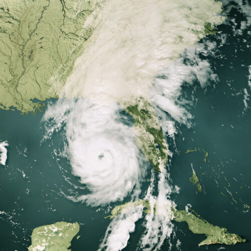
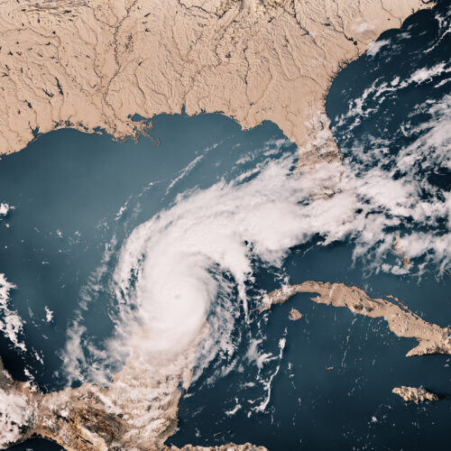
Hurricane Helene crossed the Gulf of Mexico at a time when sea surface temperatures were at record highs and then barreled into a region where heavy rains had left the ground saturated. The result was historic, catastrophic flooding.

One key question is how soon we might expect history to repeat itself. Our rapidly warming planet has tilted the odds in favor of some extreme weather events in a way that means we can expect some events that had been extremely rare to start occurring with some regularity. Our first stab at understanding climate change's influence on Helene was released on Wednesday, and it suggests that rainfall of the sort experienced by the Carolinas may now be a once-in-70-year event, which could have implications for how we rebuild some of the communities shattered by the rain.

Rapid attribution

The quick analysis was done by the World Weather Attribution project, which has developed peer-reviewed methods of looking for the fingerprints of climate change in major weather events. In general, this involves identifying the key weather patterns that produced the event and then exploring their frequency using climate models run with and without the carbon dioxide we've added to the atmosphere.

Read full article

Comments

Β© Frank Ramspott

NOAA drops scientist’s ashes into the eye of Category 5 Milton

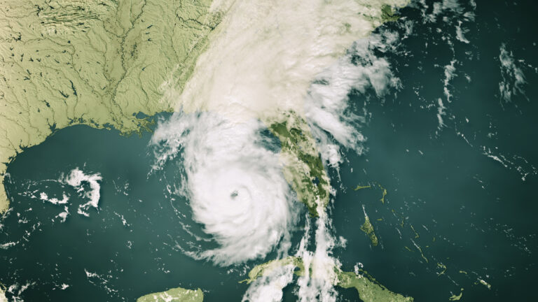
On Tuesday evening during a measurement flight, the NOAA Aircraft Operations Center dropped the ashes of Peter Dodge, a longtime radar scientist and hurricane hunter, in the eye of Hurricane Milton. The drop honored Dodge's 44-year career and his contributions to radar meteorology and tropical cyclone research.

As the powerful and dangerous storm bears down on Florida, the release of Dodge's ashes was an unusually peaceful moment during a type of flight that is typically quite turbulent. Michael Lowry, a Hurricane Specialist and Storm Surge Expert at WPLG-TV in Florida, celebrated the moment on X, calling it a "beautiful tribute."

Lowry's post included a screenshot of a Vortex Data Message, which is a log of in-flight observations made by hurricane reconnaissance aircraft, detailing the storm's center location, pressure, wind speed, temperature, and other key meteorological data used to assess the intensity and structure of the cyclone. At the end, a tribute line reads, "PETER DODGE HX SCI (1950–2023) 387TH PENNY."

Read full article

Comments

Β© NOAA

Model mixes AI and physics to do global forecasts

Image of a dark blue flattened projection of the Earth, with lighter blue areas showing the circulation of the atmosphere.

Enlarge / Image of some of the atmospheric circulation seen during NeuralGCM runs. (credit: Google)

Right now, the world's best weather forecast model is a General Circulation Model, or GCM, put together by the European Center for Medium-Range Weather Forecasts. A GCM is in part based on code that calculates the physics of various atmospheric processes that we understand well. For a lot of the rest, GCMs rely on what's termed "parameterization," which attempts to use empirically determined relationships to approximate what's going on with processes where we don't fully understand the physics.

Lately, GCMs have faced some competition from machine-learning techniques, which train AI systems to recognize patterns in meteorological data and use those to predict the conditions that will result over the next few days. Their forecasts, however, tend to get a bit vague after more than a few days and can't deal with the sort of long-term factors that need to be considered when GCMs are used to study climate change.

On Monday, a team from Google's AI group and the European Centre for Medium-Range Weather Forecasts are announcing NeuralGCM, a system that mixes physics-based atmospheric circulation with AI parameterization of other meteorological influences. Neural GCM is computationally efficient and performs very well in weather forecast benchmarks. Strikingly, it can also produce reasonable-looking output for runs that cover decades, potentially allowing it to address some climate-relevant questions. While it can't handle a lot of what we use climate models for, there are some obvious routes for potential improvements.

Read 16 remaining paragraphs | Comments

❌